Portfolio
Civil Infrastructure
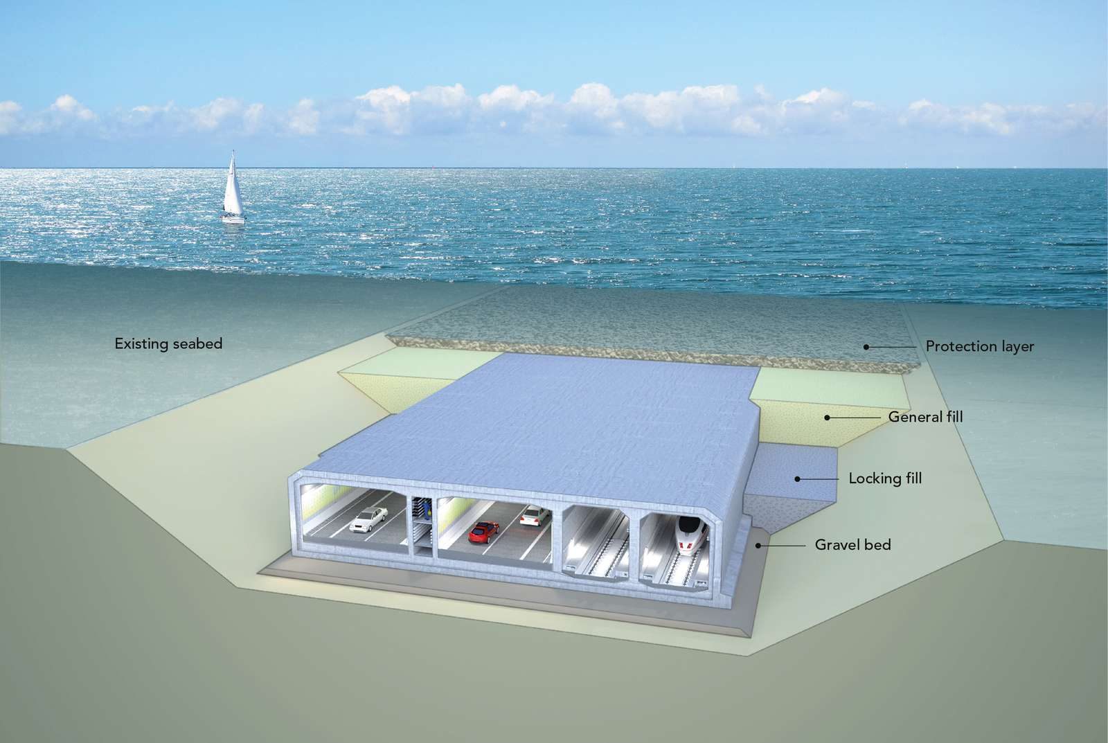
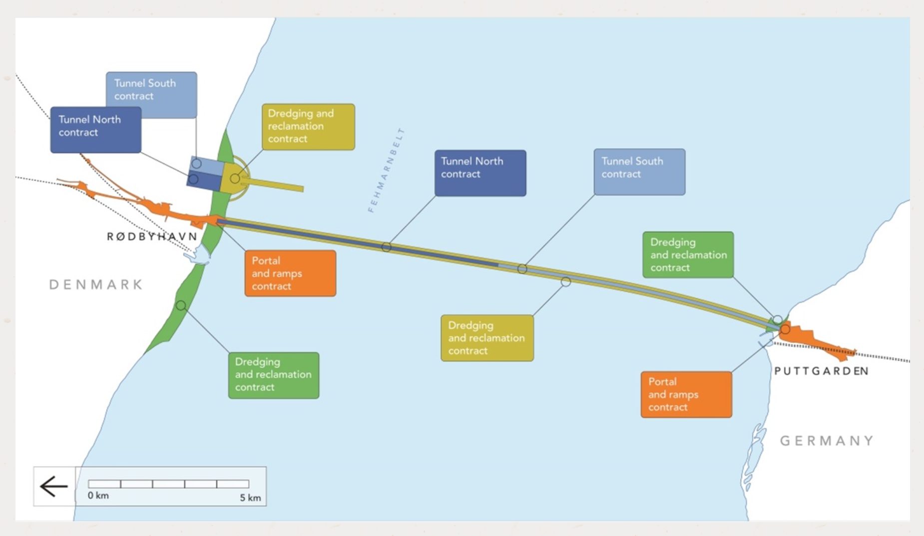
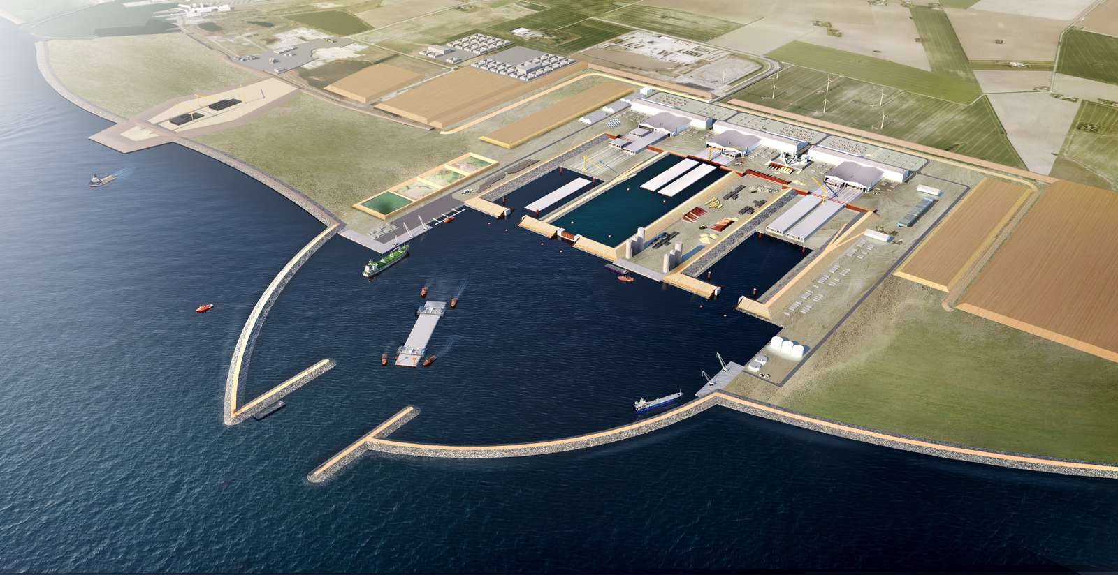
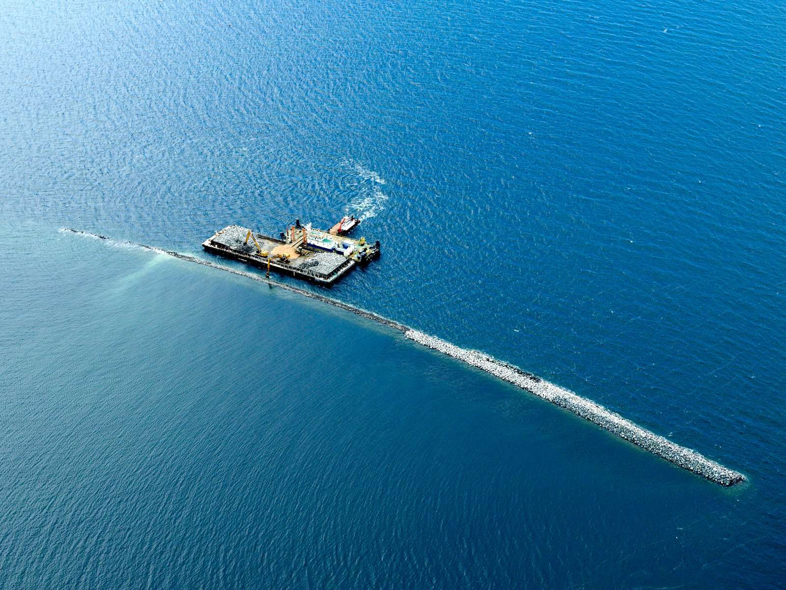
The Fehmarn Belt Fixed Link
Germany - Denmark
We are proud to share that, as a Uruguayan company based in Montevideo, EnginLabs is participating in an infrastructure work of magnitude and relevance in Europe, providing geometric design and BIM coordination services from Uruguay.
"The Fehmarn Belt Fixed Link" is the longest submerged tunnel ever built and will connect Germany with Denmark, it will be a key piece within the Scandinavian - Mediterranean corridor that connects the Scandinavian countries with the rest of Europe.
EnginLabs was contracted by the consortium of companies in charge of the dredging and filling tasks, consisting of Boskalis and Van Oord.
The design and modeling carried out by EnginLabs will have a constructive purpose and will be used for direct loading into the machinery guidance and control equipment.
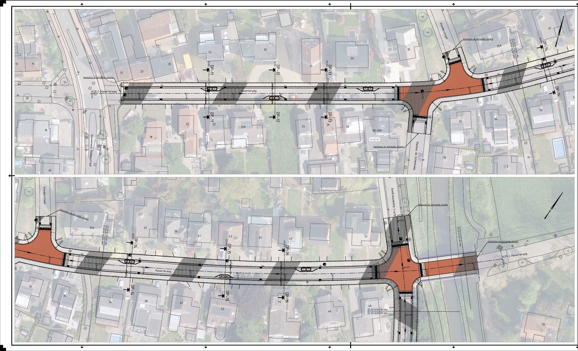
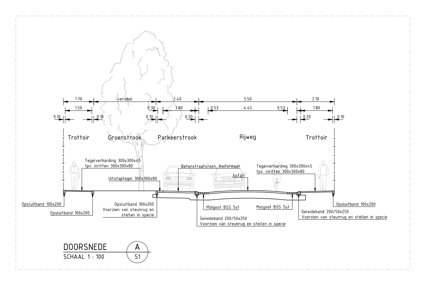
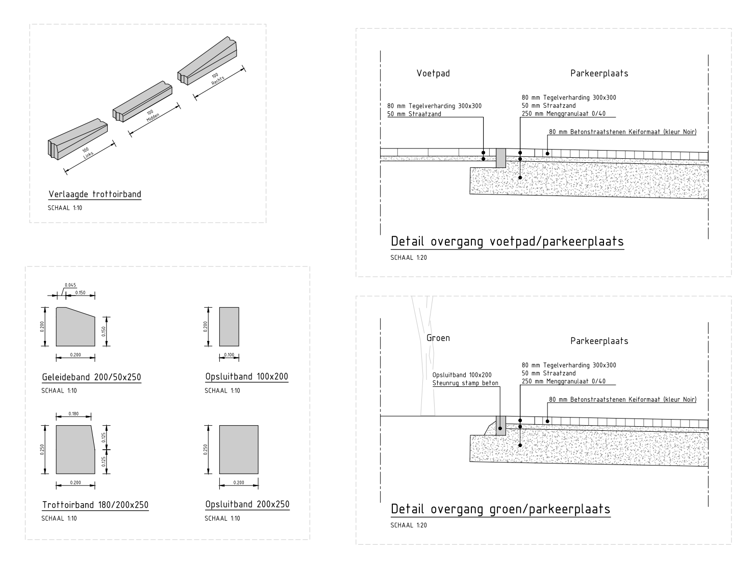
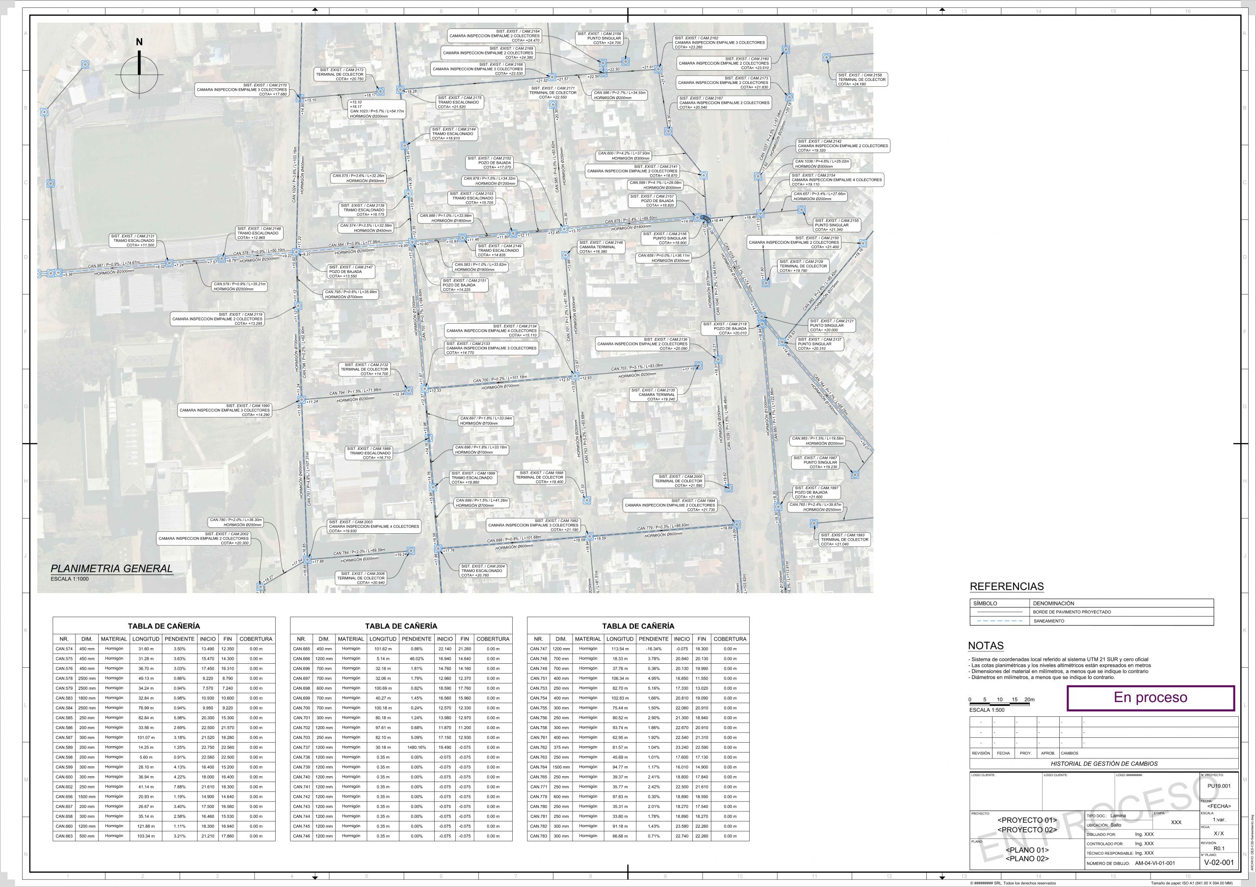
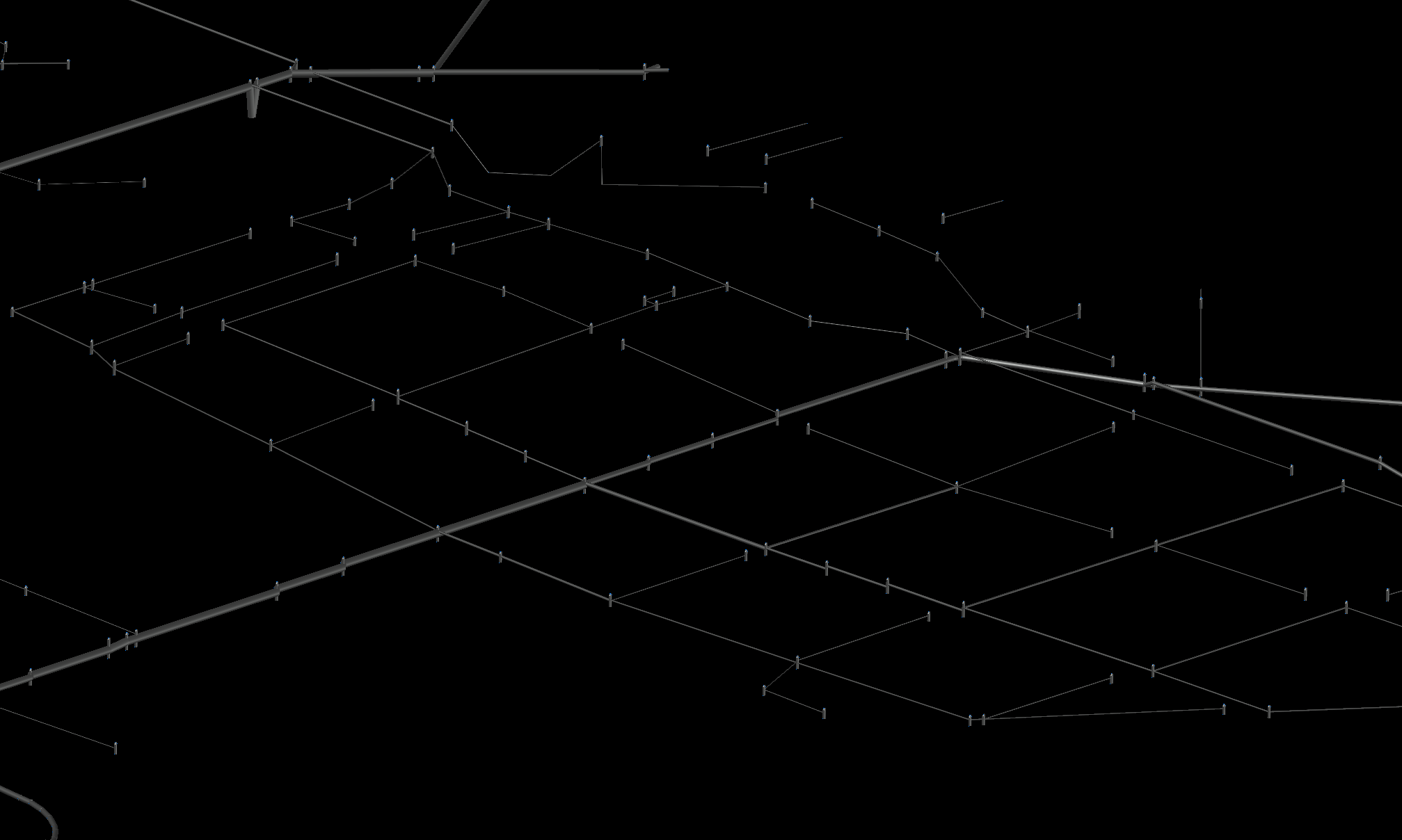
Projects Netherlands / Design (CAD)
Limburg, Netherlands
Examples of product we deliver for the Dutch market. The drawings we deliver are based on the Dutch CAD standard NLCS.
Deliverables detailed design, innercity infrastructure:
- Detailed Plan views;
- Sections and Profiles;
- Details of pavement structures;
- Geometric models (3D).
Additional to the CAD design, we are able to turn the drawings into visualisations. Ideal for stakeholder meetings.
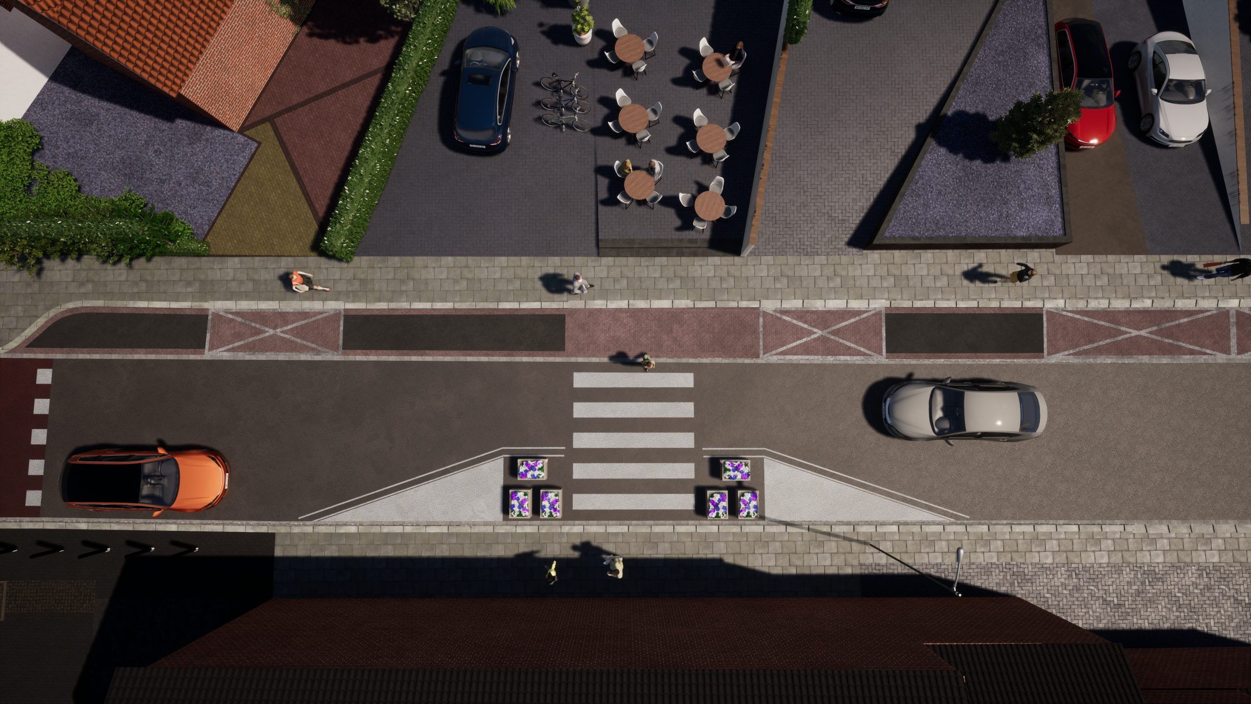
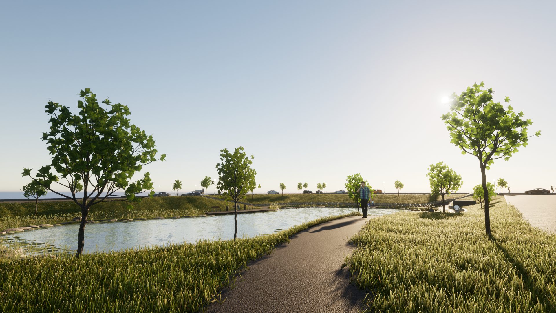
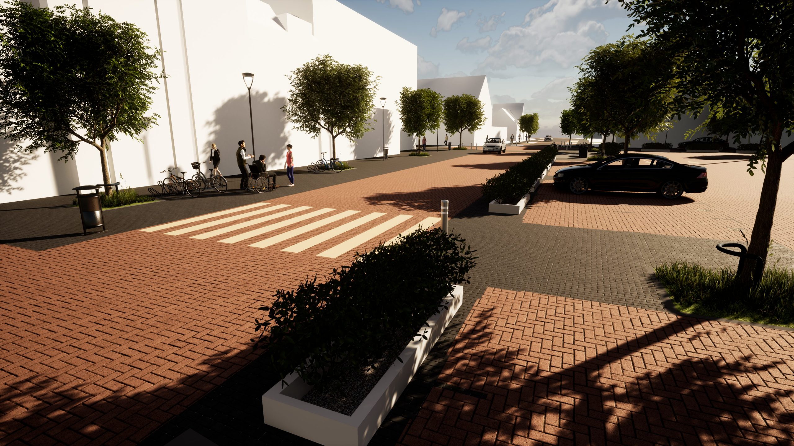
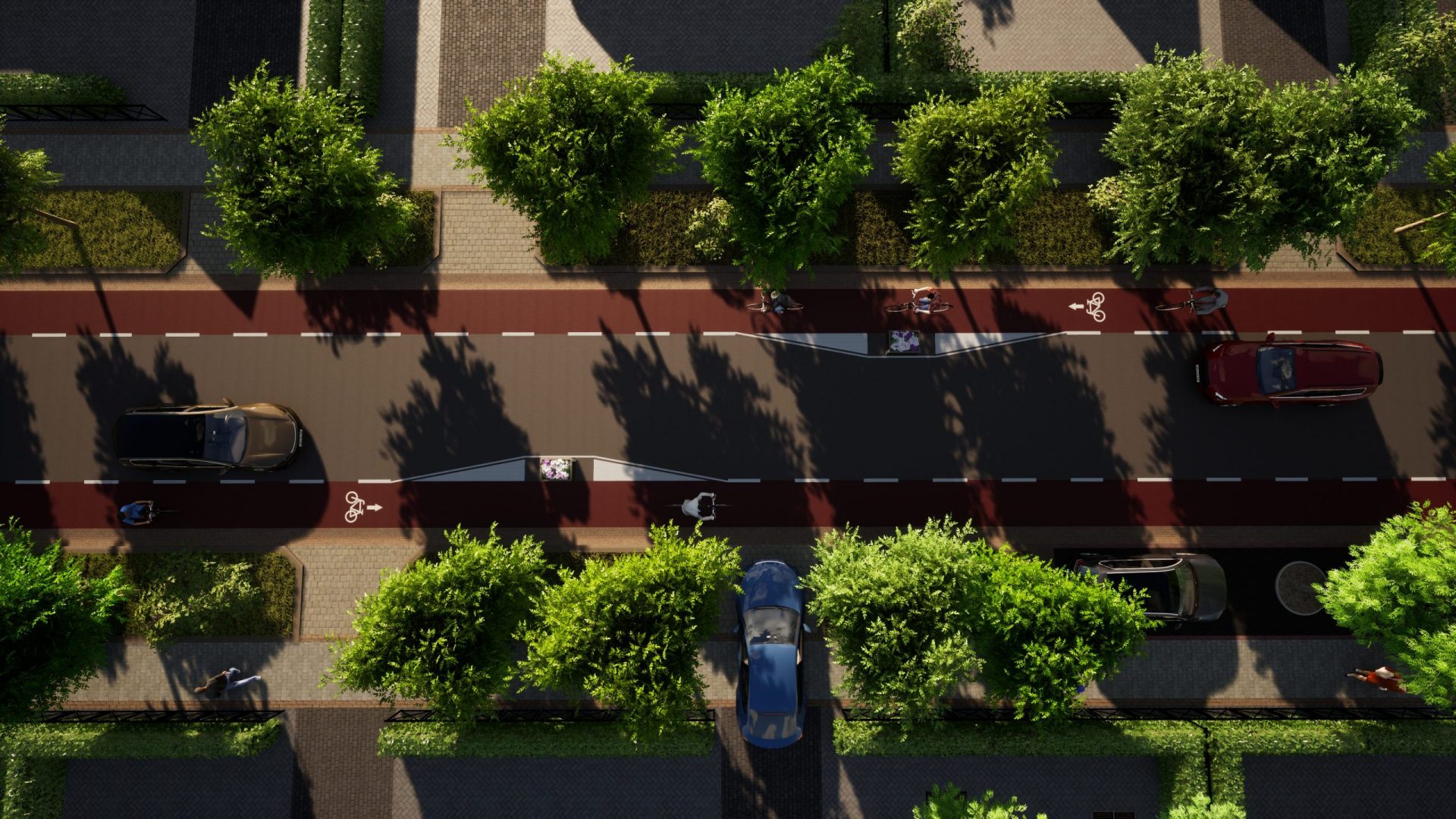
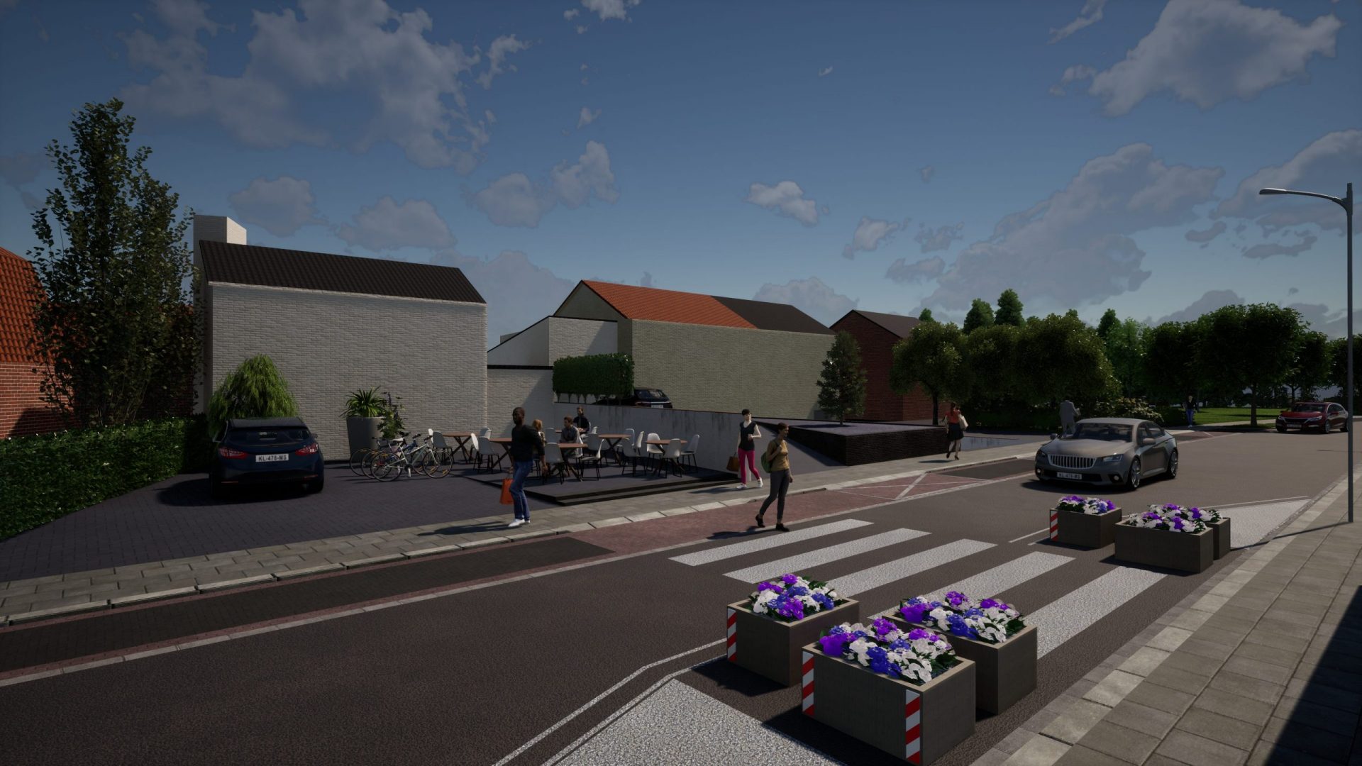
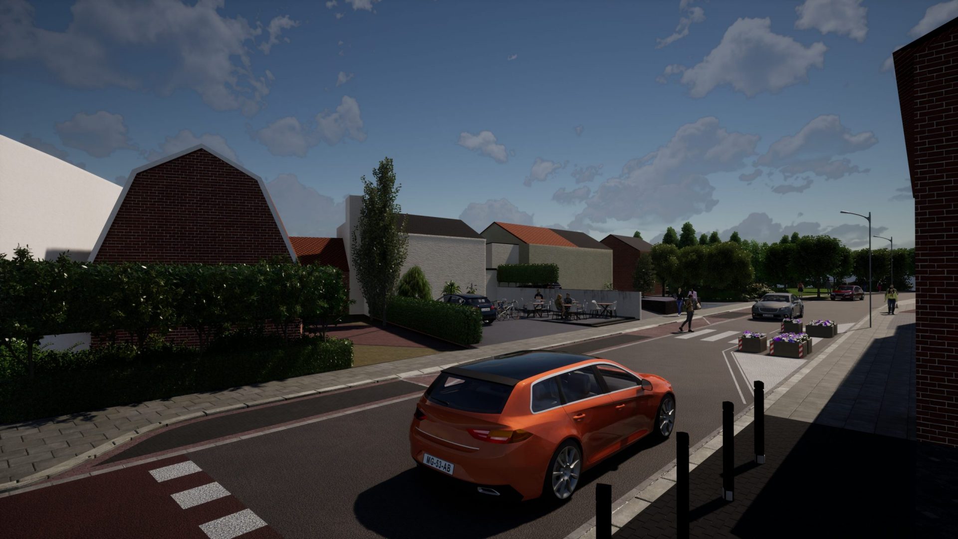
Projects Netherlands / Visuals
Limburg, Netherlands
Visual are an excellent way for third parties to understand a design or specific situation. No technical drawings have to be read to fully understand the impact of the change.
Because of the rich available geodata and the efficient setup we have developed, it is relative easy to implement a 2D design in a existing situation.
We have 2 types of visualisations:
- Conceptial renders (based on a 2D surrounding)
- Project renders (based on a 3D project surface)
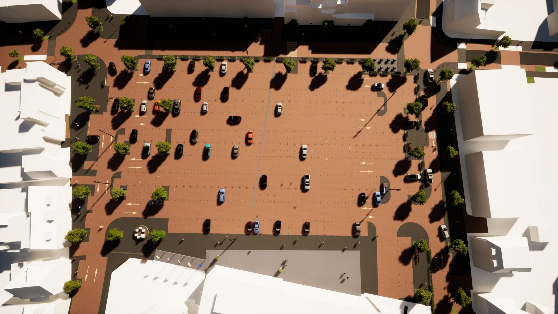
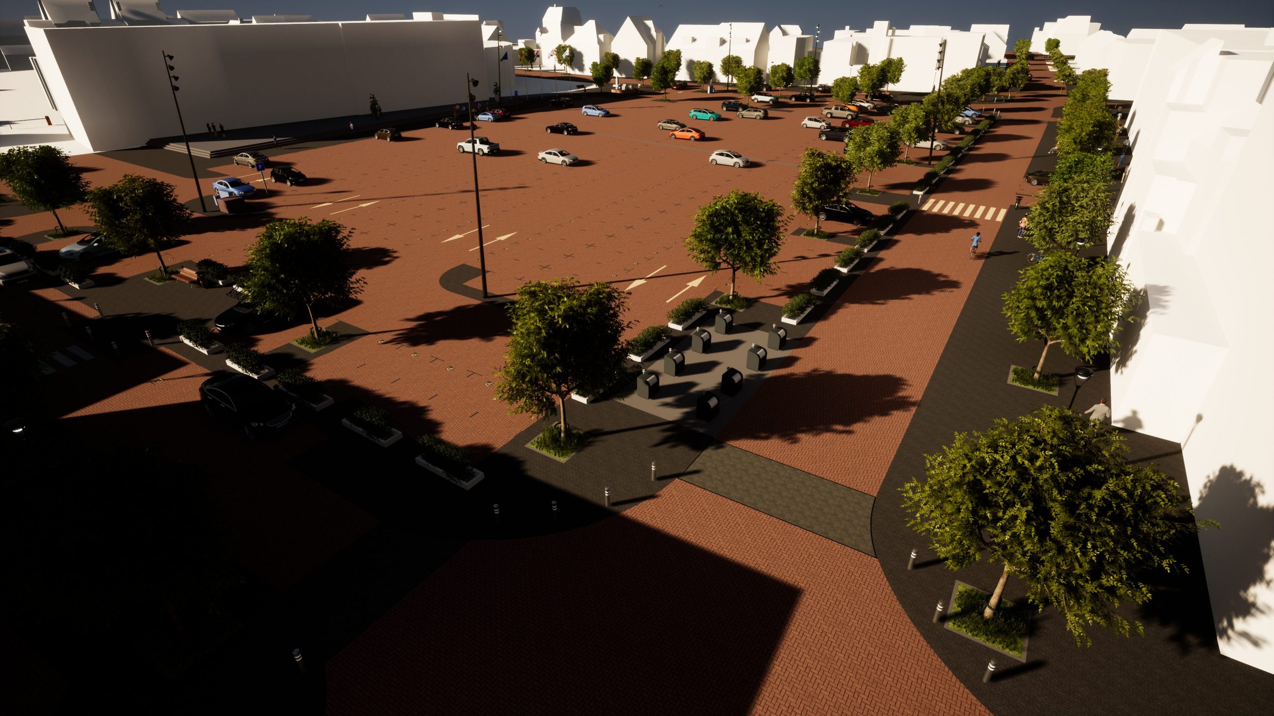
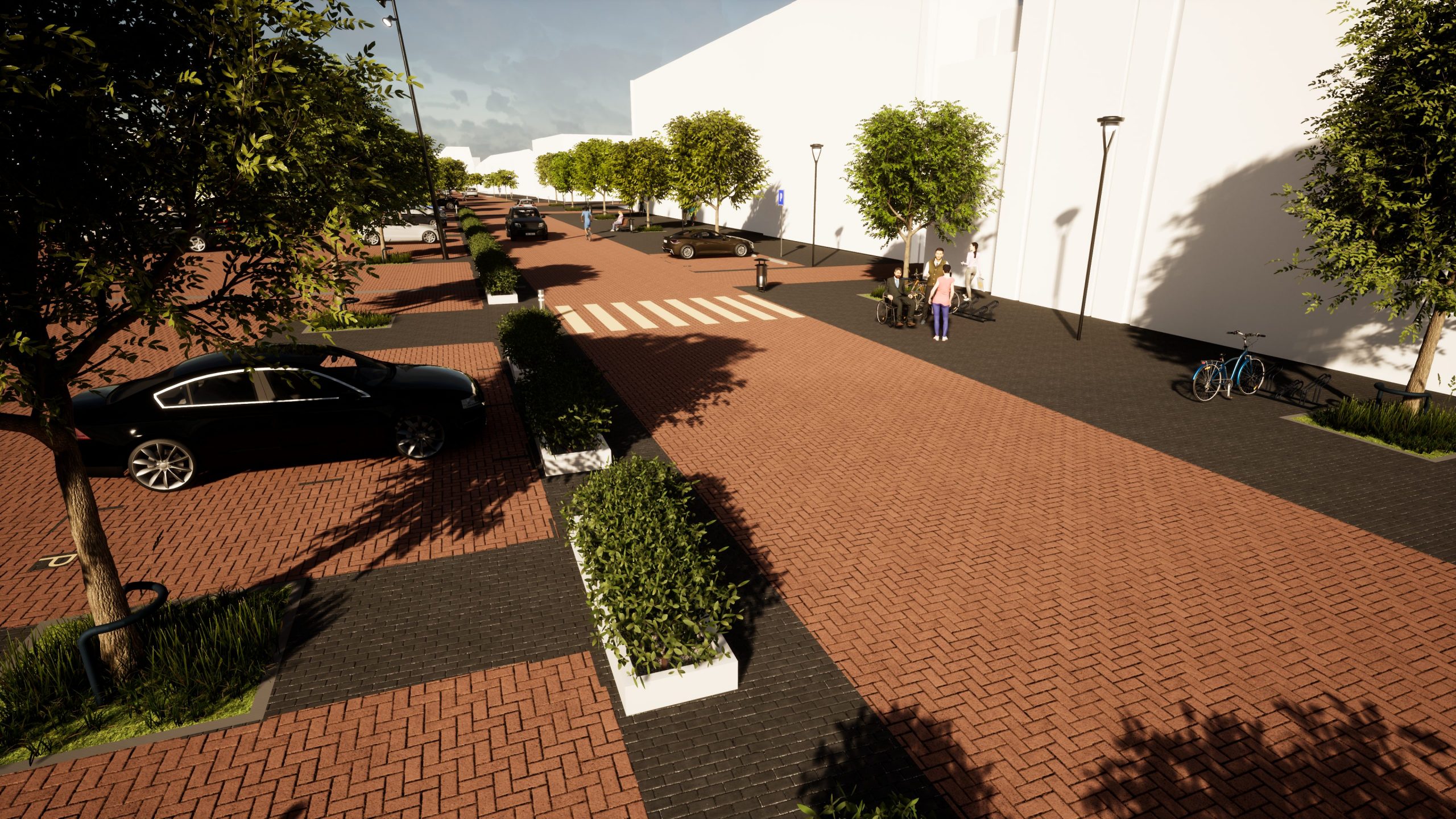
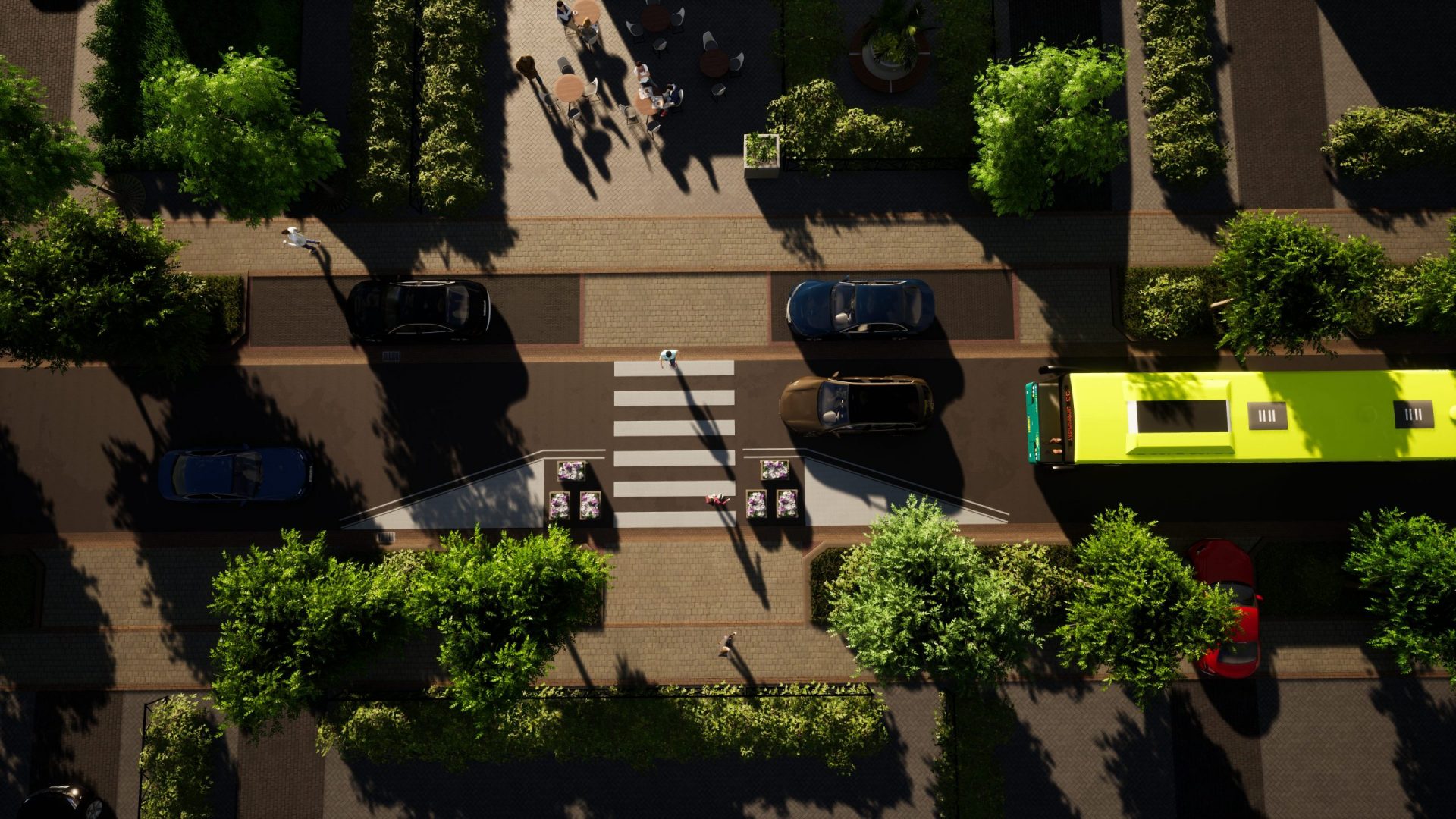
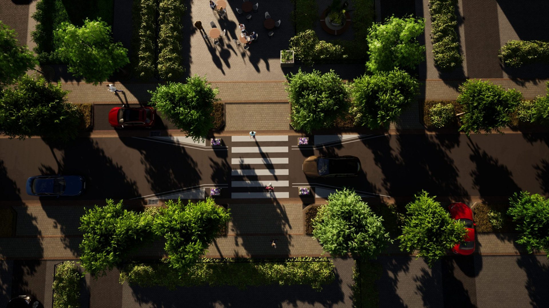
Revovation City Center
Echt, Netherlands
Commissioned by the Municipality of Echt in the Netherlands, EnginLabs has created a design for the redevelopment of the city center.
The central square is arranged so that it can function as a parking facility, but also as a market and / or fair.
Below you will find some images of the different possible scenarios. These visuals are a good communication tool for the municipality towards stakeholders and residents.
Poinclouds e infraestructura subterránea
Av. Italia, Montevideo, Uruguay
Video of components of the multidisciplinary model carried out for the expansion project of Av. Italia in the section Orleans-Barradas.
Geospatial elements obtained from government servers, survey point cloud, existing surface model and underground infrastructure are shown.
By Pass para Tránsito Pesado
Tacuarembó, Uruguay
The project consists of 6km of pavement which connects National Route N ° 31 (km 214500) with N ° 26 (km 226) far enough westbound the city, so that the "Land Use Plan" ensures that it will be kept outside of the urban area.
Truckparking Trocolli ANP
Montevideo, Uruguay
In the framework of Public Tender No. 21174, since last May of this year, the paving works for the esplanade for truck parking have begun prior to their entry to the Port of Montevideo. The proposal aims to resolve congestion problems in the Montevieo port complex and surrounding areas.